7ЁС24аЁЪБЯњЈЪлШШЯпЃК15515601234
гХЪЦдЫгЊГЩБОЕЭ,ЮЌаоБЃбјЗНЁЉБу,вЛДЮадбЙПщГЩаЭЃР
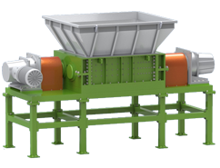
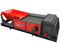
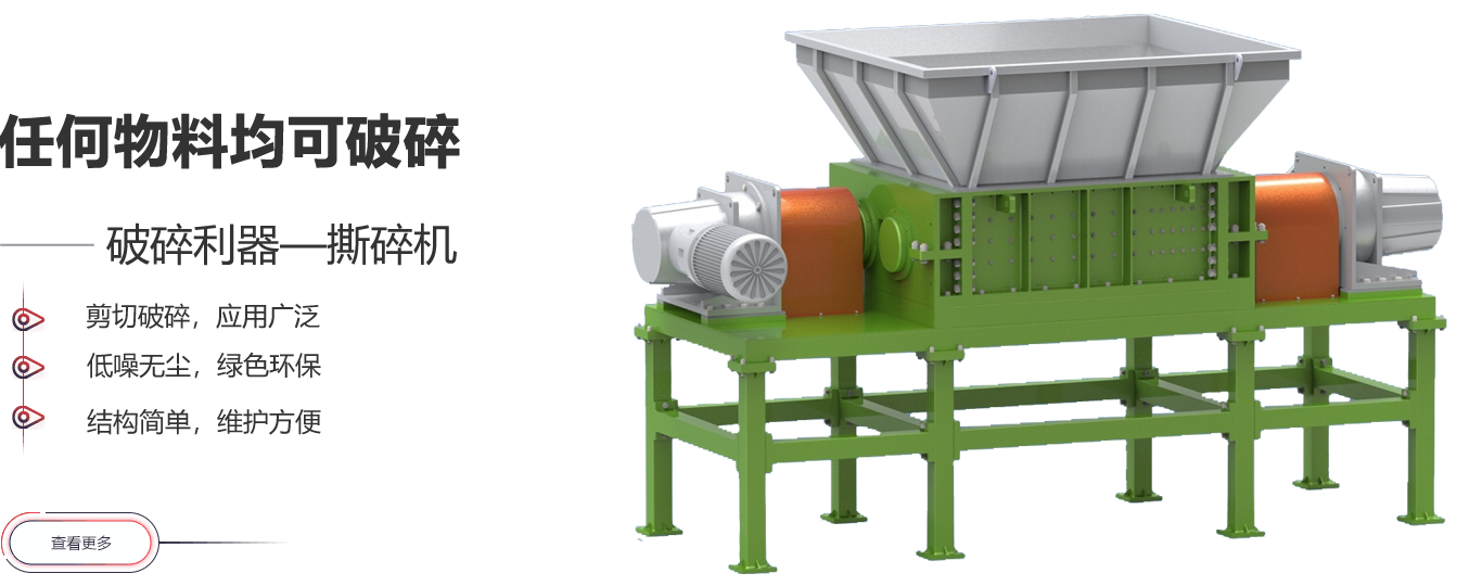
гХЪЦЕЭдывє жЇМмЮШЙЬ ФЭГхИККЩ ЗРИЏЪД
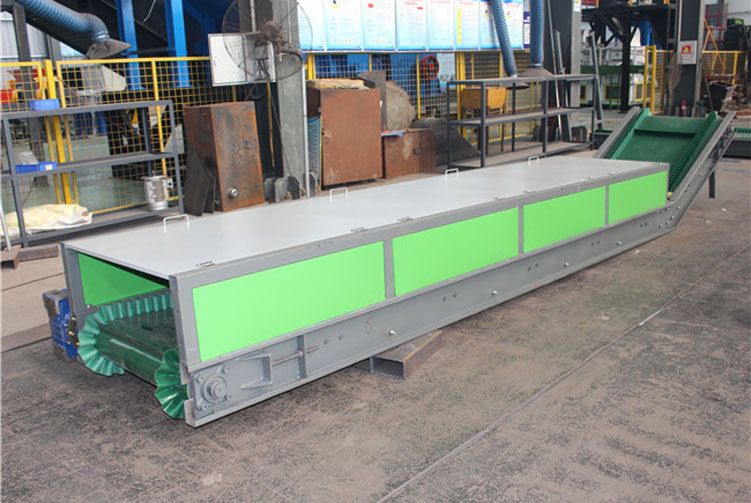
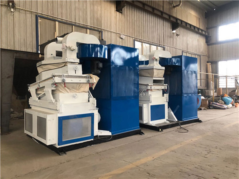
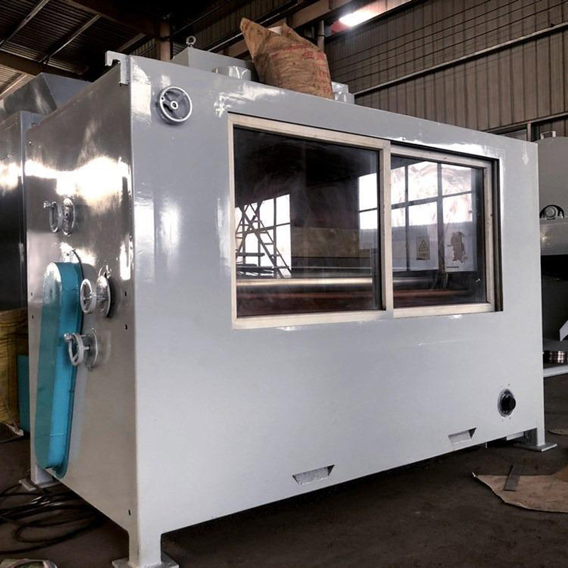
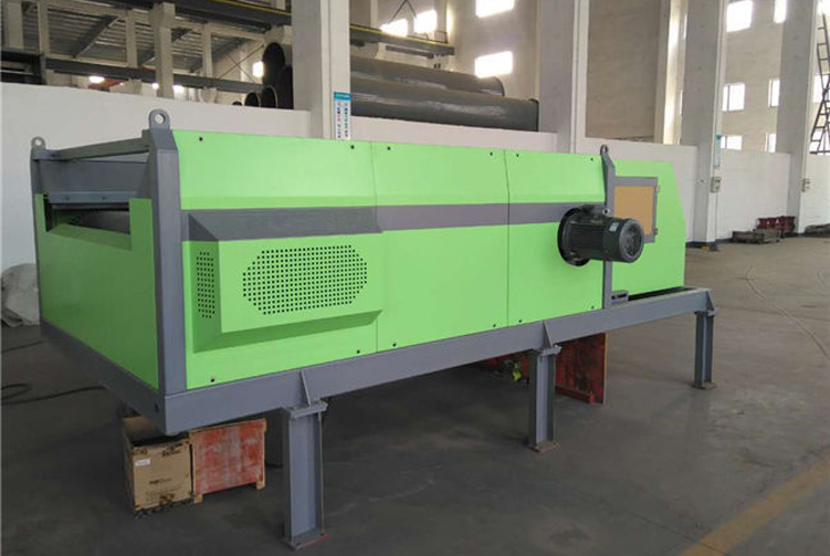
гХЪЦЪфЫЭСПДѓЁЂЪфЫЭЦНЮШЁЂдывєНЯаЁЁЂНсЙЙМђЕЅЁЂБугкЮЌЛЄЁЂФмКФНЯаЁЁЂЪЙгУГЩЈшБОЕЭЁЂЮЌЛЄЗНБуЁЃ
гХЪЦ
гХЪЦдЫгЊГЩБОЕЭ,
гХЪЦ
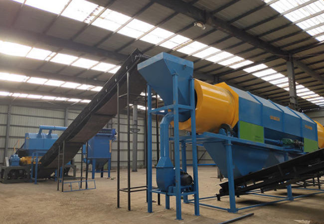


![]() НјСЯЙцИёЃК
НјСЯЙцИёЃК
![]() ЩњВњФмСІЃК500-20000 kg/h
ЩњВњФмСІЃК500-20000 kg/h
ЪЪгУЮяСЯЃКБљЯфЁЂЯДвТЛњЁЂЕчЪгЁЂПеЕїЕШЗЯОЩМвЈЕч
ЖдгкЁЩдйЩњзЪдДаавЕЃЌН№СњКуМЊгЕгаГЩЪьЕФММЪѕКЭЗсИЛЕФОбщЃЌПЩТњЁязуДѓВПЗжПЭЛЇЕФашЧѓ
ЯпЩЯНЛСїПьЫйГіЗНАИ
 ЪЧЦѓвЕЕФЩњУќЈL
ВуВуАбПиЃЌОЋвцЧѓОЋЃЌЮвУЧгУаФЃЌШУФњЗХаФЁЃ
ИпМЖбаЁОЗЂЙЄГЬЪІ
вЛЯпММЙЄ
ДѓжааЭЪ§зжЛЏМгЙЄЩшБИ
зЈвЕЪлКѓЗўЮёШЫдБ